


🔥 Monte Nido & Malibu Canyon Wildfire Preparedness
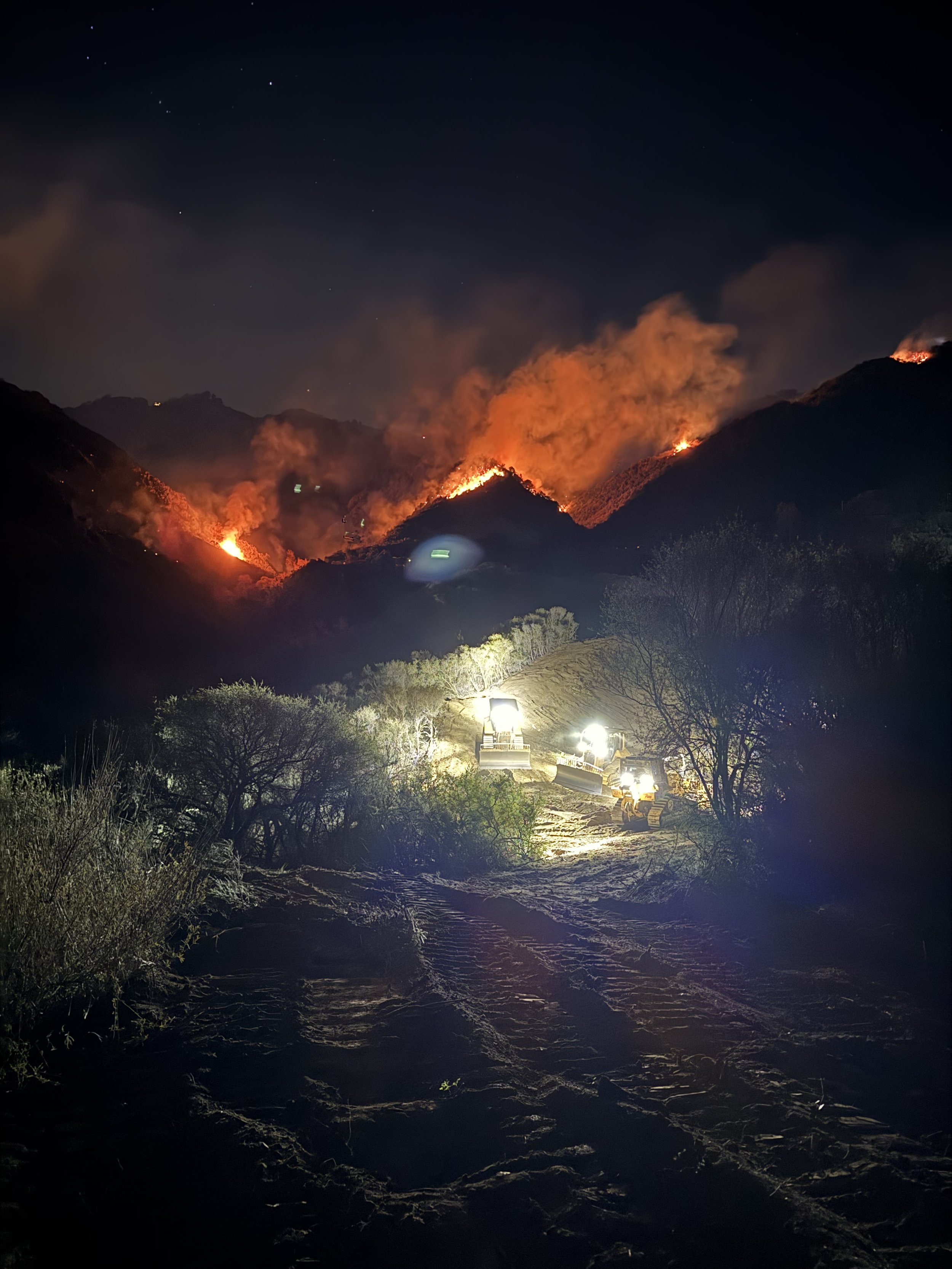
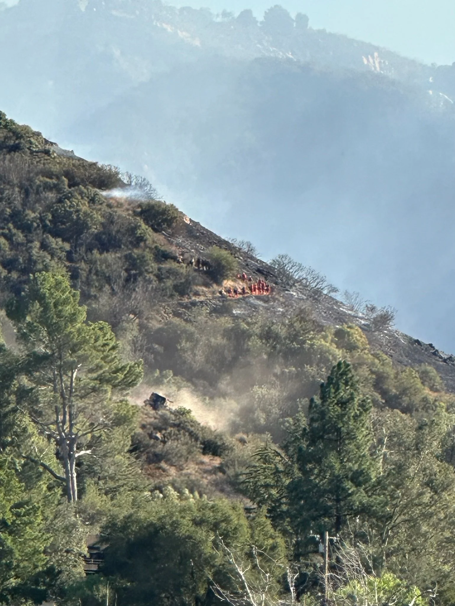
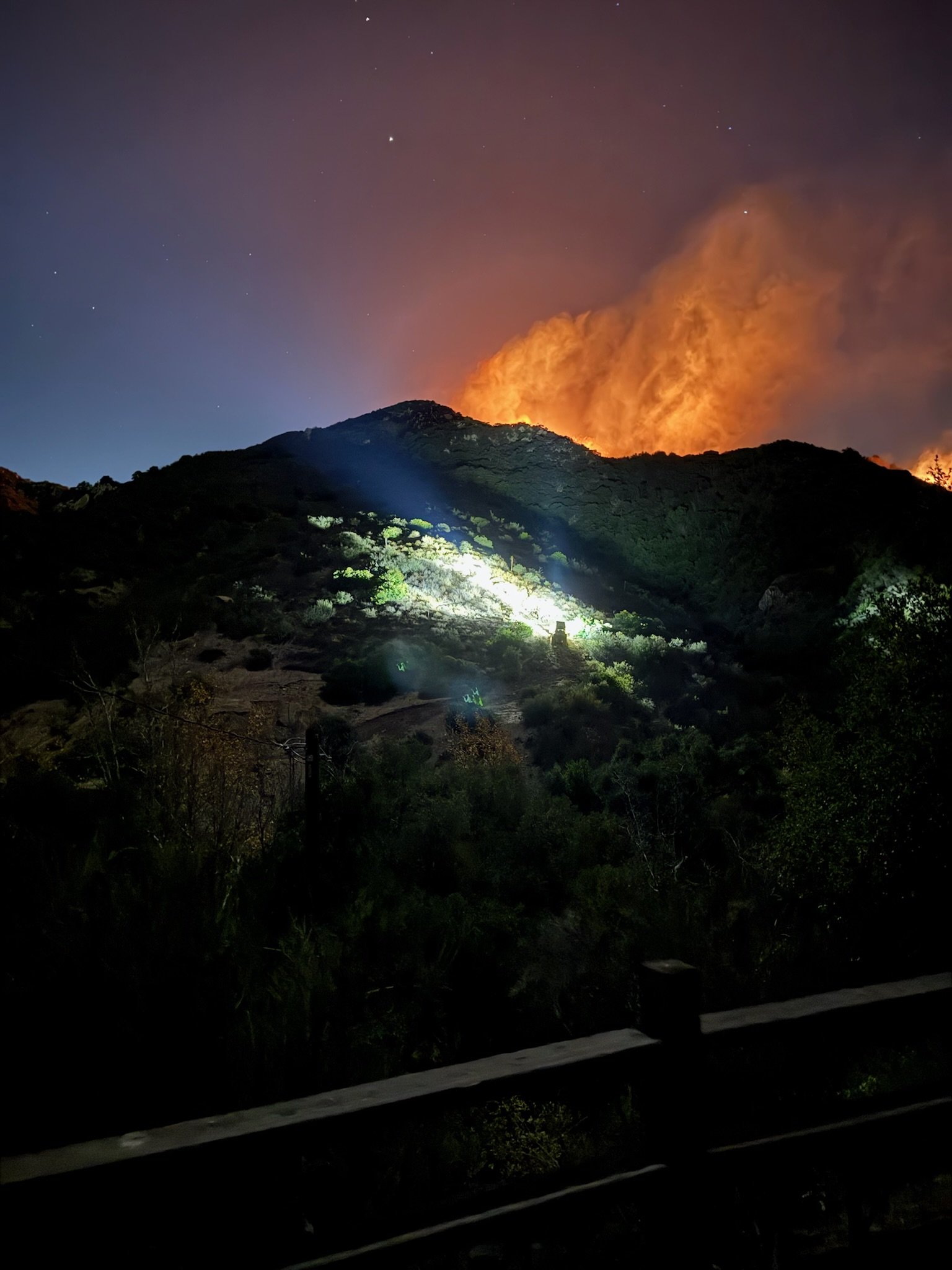
Living in Monte Nido and Malibu Canyon means living in one of California’s most beautiful—and most fire-prone—areas. Preparing before a wildfire starts can save your home and your life. This page gathers the best resources, maps, and tools so you know exactly what to do.
🚨 Stay Informed: Alerts & Notifications
Cal OES - Governor’s Office of Emergency Services
Sign up to receive texts and emails directly from the City.
👉 CalAlerts.orgAlert LA County
County-wide emergency notifications by phone, text, or email.
👉 Alert LA CountyProtect Genasys
Real-time evacuation orders, warnings, and road closures.
👉 Genasys Protect
Tip: Register for both city and county alerts to avoid missing critical updates.
🗺 Know Your Zone & Evacuation Routes
Find Your Evacuation Zone
Monte Nido is in Evacuation Zone MTN-U028. Look up your address and know your zone now.
👉 Genasys ProtectPlan Two Ways Out
Canyon roads can close quickly. Identify at least two routes out of Monte Nido (for example: Malibu Canyon Road and Topanga Canyon Road). Save screenshots or offline maps on your phone.Meeting Point
Choose a safe meeting place outside the canyon in case your family is separated.
🏠 Prepare Your Home
Defensible Space
Clear at least 100 feet of brush around your home.
👉 CAL FIRE Ready for WildfireReady. Set. Go. County of Los Angeles Fire Department
👉 Ready. Set. Go.Home Hardening
Upgrade vents, roofs, and siding with fire-resistant materials.
👉 Wildfire Prepared HomeFree Local Assessments
The City of Malibu offers home hardening and defensible space evaluations.
👉 Malibu Wildfire Preparedness
🧰 Emergency Kit & Go Bag
Pack these items and keep them ready year-round:
N95 masks
Important documents (copies, in waterproof bag)
Phone charger & backup battery
Medications & first aid
Food & water for 3 days
Flashlight, radio, spare clothes
👉 Full Checklist – Ready for Wildfire
🌍 Maps & Risk Tools
Monte Nido Wildfire Preparedness
Local hazard maps and resources.
👉 MonteNido.orgCAL FIRE Hazard Severity Zones
Interactive state maps showing Very High Fire Hazard Severity Zones.
👉 CAL FIRE MapsWildfire Risk to Communities
Explore wildfire risk factors in Malibu Canyon.
👉 WildfireRisk.org
🤝 Community Resources
Topanga Coalition for Emergency Preparedness (TCEP)
Local updates and preparedness education.
👉 TCEP.orgMRCA Fuel Reduction
Learn about brush clearance projects in Malibu and Topanga Canyons.
👉 MRCA Updates
✅ Quick Action Checklist
Sign up for Malibu + LA County alerts
Know your evacuation zone and routes
Pack a Go Bag
Create 100 ft. defensible space
Save maps/screenshots offline
Make a family meeting plan